Unveiling Rainier's Secrets: Your Ultimate Guide to Mount Rainier National Park
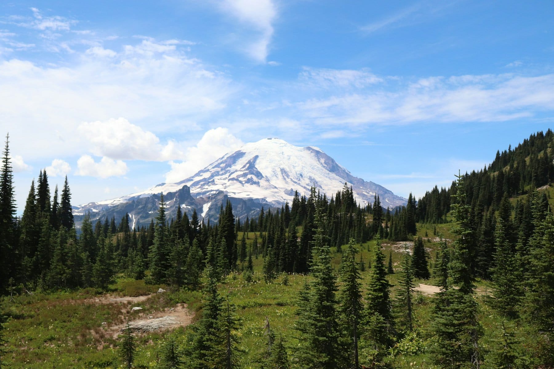
The Mount Rainier National Park offers the most stunning “alpine” views in the western United States. The currently dormant volcano (though still active) is an icon of Seattle. Just a bit south of Washington State's largest city, its photogenic peak rises to over 4,300 meters.
The mountain is the tallest of the Cascade Range volcanoes, and it's best to visit on clear days (it's often foggy and cloudy). The national park's center is in Paradise, a large logistical area on the southern slopes of the mountain. From there, you can embark on a wide variety of hiking trails of different levels and through various natural areas on the mountain's slope.

How to Explore Mount Rainier National Park?
The trip in Mount Rainier National Park is essentially a car trip. You can circle the summit of the mountain with a car, and along the roads there are stunning viewpoints of the peak (if it's clear). The center of the national park is at Paradise on the southern slopes, where there's a large visitor center and access to a wide range of hiking trails, suitable both for families and professional hikers. Below Paradise, there are a series of scenic roads with stops for viewpoints (of the peak, river channels, glaciers, and waterfalls).
The secondary center for the trip is Sunrise on the eastern slopes, which also has a visitor center and a large camping center. From Sunrise, you can access various hiking trails on the slopes above the White River.
How many days do you need for a trip to Mount Rainier?
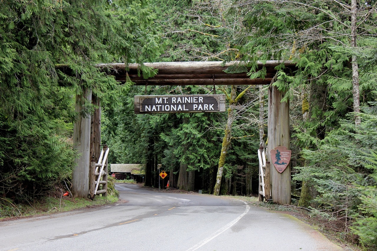
If you're coming for a taste and short walks on trails near the roads, you can explore Mount Rainier in a one-day trip from Seattle. If you want to do a long hiking trail, it's worth finding a place to stay near the park and dedicating two days (or more if you want to do additional trails).
For a day trip from Seattle to Mount Rainier National Park, click here…
10 Must-See and Do Things in Mount Rainier National Park
- Paradise Jackson Visitor Center
- Longmire Wilderness Information Center
- Touch the summit on the Skyline Trail
- A picture of the mountain's reflection in Reflection Lake
- Scenery and nature from the comfort of your car on Paradise Valley Road
- The alpine lakes of Sunrise Point
- Nature for the whole family on the Grove of the Patriarchs Trail
- The stunning view on the easy Silver Falls Trail
- The wild and rugged nature of Mowich Lake and the northern slopes of Mount Rainier
- The trail of Tipsoo Lake at Cayuse Pass and Chinook Pass
Click here to find lodging in Ashford lodges near Mount Rainier…
What is Mount Rainier National Park?
Mount Rainier is one of the most photogenic and famous mountains in the United States. Its proximity to Seattle and being an integral part of the city’s skyline makes this wild mountain one of the most iconic peaks in the United States.
- The mountain is located 87 kilometers southeast of the Seattle metropolitan area
- Mount Rainier’s elevation is over 4,300 meters above sea level (the southern part of the Puget Sound, Seattle’s bays, is an astonishing less than sixty kilometers away from the mountain, making it one of the most drastic slopes in the United States)
- Mount Rainier is the highest mountain in the Cascade Range
- It is considered an active volcano, with its last documented eruption in the mid-19th century. To the south of Rainier, Mount St. Helens erupted violently in 1980, causing a complete collapse of its northern dome. Rainier could also erupt, which is why the mountain is under strict seismic monitoring, although it has been dormant for over a century.
- At the summit of the mountain, there are two calderas (volcanic craters) each 300 meters in diameter. The East Crater is located right at the mountain's peak and is considered the highest caldera in North America.
- The area of the mountain was declared a national park in 1899, making it the fifth national park to be established in the United States.
Click here for an audio guide for an independent tour of Mount Rainier…
Map of Mount Rainier National Park in Washington
How to get to Mount Rainier National Park?
How to fly into Mount Rainier National Park?
Seattle–Tacoma International Airport (SEA) – The largest airport in Seattle, officially known as Sea-Tac, is the main gateway to the Northwest. Nationally, it's the home airport of Alaska Airlines, which operates flights to all airports in neighboring states and major airports across the United States. The airport offers a wide range of international routes, including major European airports, allowing easy access to Seattle via transfer from Ben-Gurion Airport.
The airport is located south of downtown, halfway between Seattle and Tacoma. The drive on I-5 from the airport to downtown Seattle takes just twenty minutes. The drive directly from the airport to ‘Paradise', the park's logistics hub, takes about two hours.

How to get to Mount Rainier by car?
- There are two main highways climbing up the north and south sides of Mount Rainier. Highway 410 provides access to the northern part of Mount Rainier, while Highway 12 runs along the southern shoulder of the mountain.
- Rural Road 165 climbs to Mowich Lake from the western side of the mountain.
- Highway 123 connects Highway 12 and Highway 410 from the eastern side of the mountain.
- Access to all roads is from the Seattle metropolitan area.
- The road leading to the national park is Rural Road 706, also known as Paradise Road. This road leads to Paradise and Longmire, covering just about all the major attractions of the national park near Paradise.
When to Visit Mount Rainier National Park?
Mount Rainier National Park is a cold to freezing place, and there aren't too many times of the year when the weather allows access up the mountain. If Seattle is cold and foggy, the mountain above it is even more frozen and misty. Bright days on the mountain are quite rare, but when the white peak is revealed, it is truly a breathtaking sight.
- The ideal and almost sole time to visit the national park is during the summer season. Although it can be a bit rainy and sometimes cold, at least the mountain is accessible. Even in the height of summer, you can still see remnants of snow when hiking near Paradise.
- You can also reach the national park (with limitations) outside the summer season, in late spring and early fall. At the edges of summer, the weather may be cold, but the park is relatively empty and it's really fun to hike there.
- You can reach Paradise and Sunrise in April and May, but chances are they will be snowy, so be prepared with suitable vehicles and clothing.
- The Jackson Paradise Visitor Center, or what is called Paradise, is open all year round, even during the peak of winter. In winter, Paradise serves as a base for a wide range of winter sports, besides downhill skiing, such as snowboarding, cross-country skiing, and just an awesome place to play in the snow (if you can handle the temperatures)
How to plan a trip itinerary in Mount Rainier National Park?
A trip to Mount Rainier is an essential part of an itinerary through Washington State and Seattle. The mountain is easily accessible from the nearby big city (a two-hour mountainous drive with simply stunning scenery) and it's one of the most popular nature trip destinations departing from Seattle.
- The itinerary also includes Olympic National Park to the west of Seattle, within the accessible natural area around the summit of Mount Olympus
- The Washington State travel itinerary also allows access to the city of Vancouver in Canada
- Heading south from Seattle and Mount Rainier, there are more natural sites towards Portland, Oregon like Mount St. Helens. It's worth visiting Portland for a tour too.
The center of the trip in Mount Rainier National Park is in Paradise, the park’s “summer” logistical center. Paradise sits on the southern slopes of the park at an altitude of 2700 meters below the towering summit, near the last tree line. Outside of peak season, Longmire is the center of activities below.
- This area of Paradise is the heart of the national park, featuring the most popular trails for both long hikes and driving around with stops for short trails and scenic views.
- Sunrise is the logistical center for exploring the eastern slopes of Mount Rainier National Park. It's the second most popular area in the national park, with hiking trails of various levels.
- The travel time between Paradise and Sunrise is about an hour and a half, and you can combine both areas in one tour.
- The northwestern corner of the mountain is accessible from the Seattle metropolitan area, but completely disconnected from Paradise and Sunrise. Lake Mowich is a wild and cold nature area with hiking trails for professionals and stunning regions. Planning a trip in this area is separate from a trip to other areas of the park.
Click here to plan a tour in Mount Rainier National Park…
Everything you need to know about accommodation around Mount Rainier
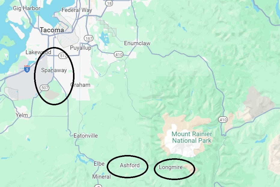
The main lodging center of Mount Rainier National Park is in Ashford, located at the lower part of the Nisqually River on Highway 706. The drive from Ashford to Paradise is only forty minutes. Ashford isn't really a settlement; it's more of a cluster of mountain lodges and a few restaurants and supply spots. In the forest above the river, there is a line of rustic lodges with a two or three-star hotel rating. It's a “rural lodging” style like we know from back home, with large heated wooden cabins and a breathtaking alpine atmosphere.
Click here to check availability and prices for the lodges in Ashford…
Further up the mountain, both at Longmire and Paradise, there are lodges operated by the park itself. It's a place to stay for the hardcore hikers. The lodge at Paradise is closed during the winter, but at Longmire, it's open year-round. At Sunrise, on the eastern slopes, there's a seasonal lodge for the seasoned hikers.
Most people coming to Mount Rainier stay in Seattle, either in the city center (and reach the park via shuttles or organized tours) or in motels near Sea-Tac Airport (Seattle-Tacoma). Close to the airport, there are a series of business hotels from international chains at a four-star level and plenty of excellent motels with representation from all the well-known American chains.
Click here to find accommodation in Seattle…
Where to Stay in Mount Rainier National Park?
Everything to See and Do in Mount Rainier National Park
Paradise
Paradise serves as the prime logistical hub of Mount Rainier National Park. Located at an elevation of 1,600 meters, it's right on the edge of the forests and touches the exposed cliffs of Mount Rainier's summit, which towers nearly 2,700 meters higher, about six kilometers to the north. Paradise is the starting point for exploring the key sites of Mount Rainier National Park.
Click here for a guided hike on Mount Rainier…
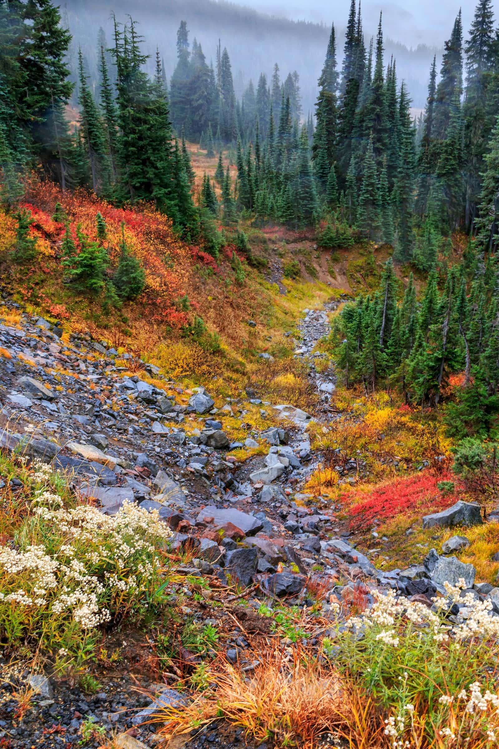
The location features the Paradise Jackson Visitor Center and the Paradise Inn lodge. The visitor center is open year-round (unless roads are closed due to snowstorms) and the inn operates from mid-May to mid-October.
Adjacent to the visitor center are huge parking lots. When the upper parking lot is full, there's another one a bit down the road, connected to the visitor center by a shuttle. The visitor center provides extensive information about the park and also has a cafeteria and a souvenir shop. This is the place to get permits for the more challenging hiking trails.
From Paradise, several of the park's most popular and simple hiking trails begin. The most beautiful trails are the Nisqually Vista Trail, which is circular and easy (45 minutes walk), and in the peak of summer, it's buzzing with hikers. The trail gently leads towards the edge of the Nisqually Glacier.
Skyline Trail
Paradise is the staging ground for trails leading to Myrtle Falls. The lovely and easy trail to the falls is the gentlest part of the Skyline Trail. This section of the trail to the falls is the busiest in the entire park. The trail ascends to the stunning falls in Edith Creek Canyon. The Skyline continues from the falls to its challenging part, climbing up to the exposed cliffs south of the summit. These sections of the trail are alpine by nature and suitable for mountain climbers.
Up the trail, there are several spectacular viewpoints, the most beautiful of which is Panorama Point, a three-kilometer walk up the mountain from Paradise. On clear days, you can see from Panorama Point the peaks of the Cascade Range to the south, including Mount St. Helens and even Mount Hood over Portland, Oregon.
For a guided daily hiking tour on the slopes of Mount Rainier, click here…
Reflection Lake
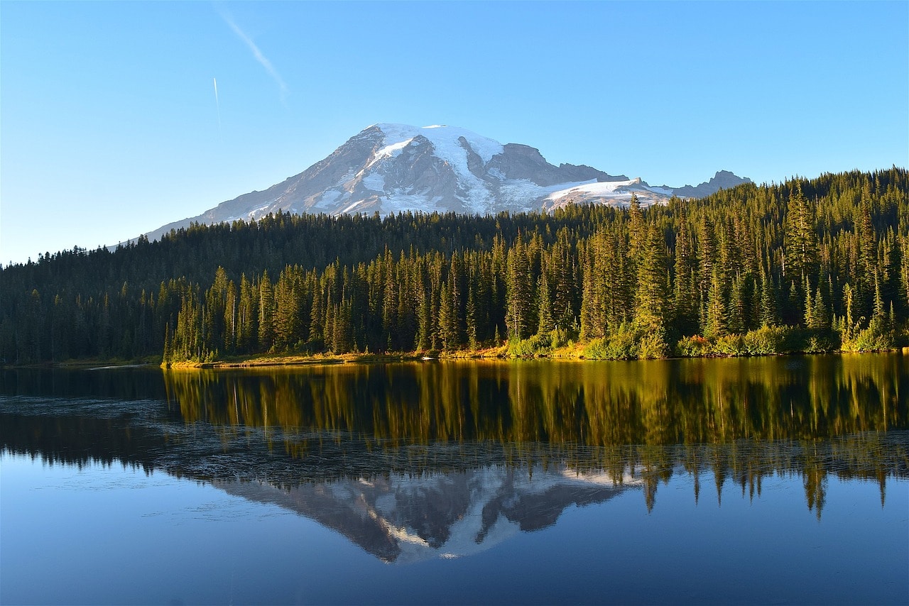
Not far from Paradise, you'll find Reflection Lake, an alpine lake formed by the retreat of a glacier. Access is via Stevens Canyon Road. On the southern part of the lake, there's convenient parking, and you can walk along part of the Wonderland Trail that skirts the lake. Unsurprisingly, the lake gets its name from Mount Rainier's summit reflecting in its dark, frozen waters.
Paradise Valley Road
The Paradise Valley Road (distinct from Paradise Road, Highway 706) is a scenic route that is an integral part of the park. It's a narrow, one-way road descending from Paradise, traveling through the Nisqually River Valley, which is part of the lower Nisqually Glacier and where the glacier's waters drain. From the road, there's a turnoff to Ricksecker Point, offering a stunning viewpoint of the Nisqually River.
The road is carved into the granite rock of the mountain in parts and crosses over the gorge on the spectacular Glacier Bridge. The most popular stopping point on the road is Narada Falls. Just above the falls in the Paradise River, there is a large, organized parking lot from which you can descend to the viewpoint on the falls on the Narada Falls Trail. The trail connects with the Wonderland Trail that descends towards Reflection Lake.
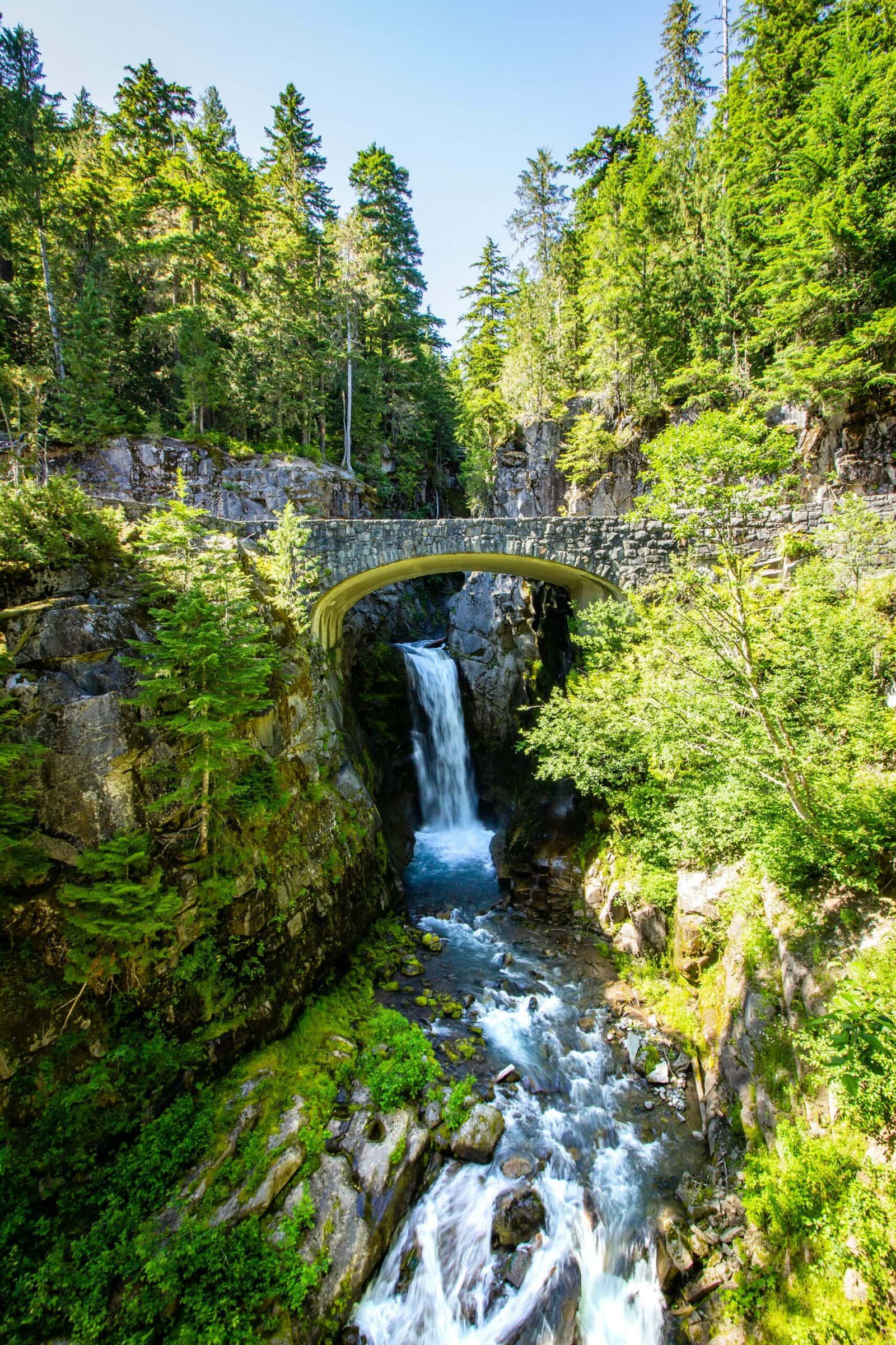
Another stunning stop along the road is near Christine Falls Bridge, offering a glimpse of the waterfalls series in Van Trump Creek. A short distance from the bridge is the Comet Falls & Van Trump Park Trailhead, which runs along the so-called Van Trump Canyon up to the Comet Falls at the head of the gorge.
Click here for a day trip from Seattle to Mount Rainier National Park…
Longmire
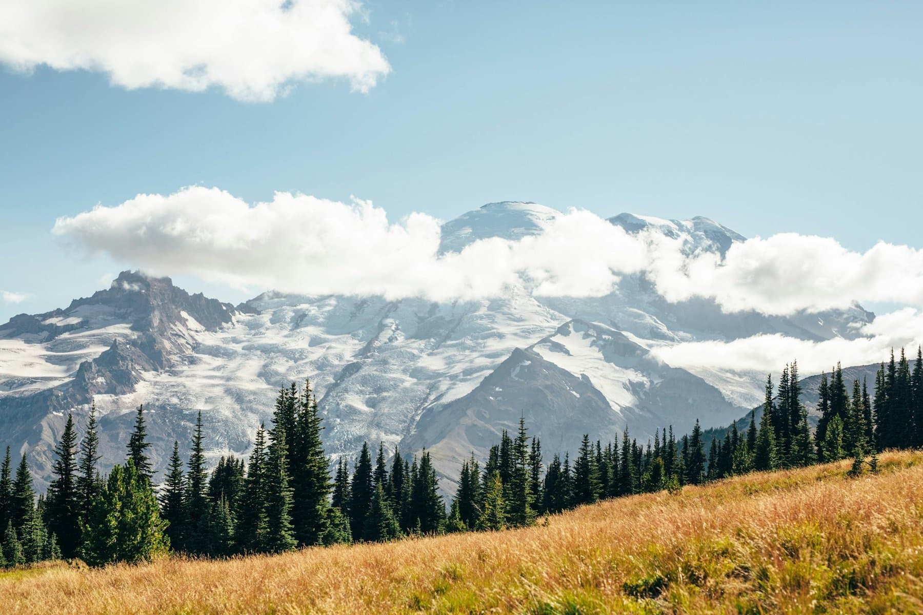
Longmire is the historic base for exploring Mount Rainier National Park. When the park was established in 1899, James Longmire's inn became the park's official visitor center. Longmire's lodge opened in the early 19th century over springs that flow into the Nisqually River just below. Today, the location includes the Longmire Wilderness Information Center, the National Park Inn, a three-star park hotel, and the Longmire Museum, which resides in the lodge building and tells its story.
Longmire sits at nearly 900 meters and serves as the park's second base after Paradise, which is a 25-minute drive up the southern slopes of Mount Rainier. From the visitor center, you can access the Trail of the Shadows, an easy and pleasant loop trail around Longmire's springs.
Grove of the Patriarchs Trail
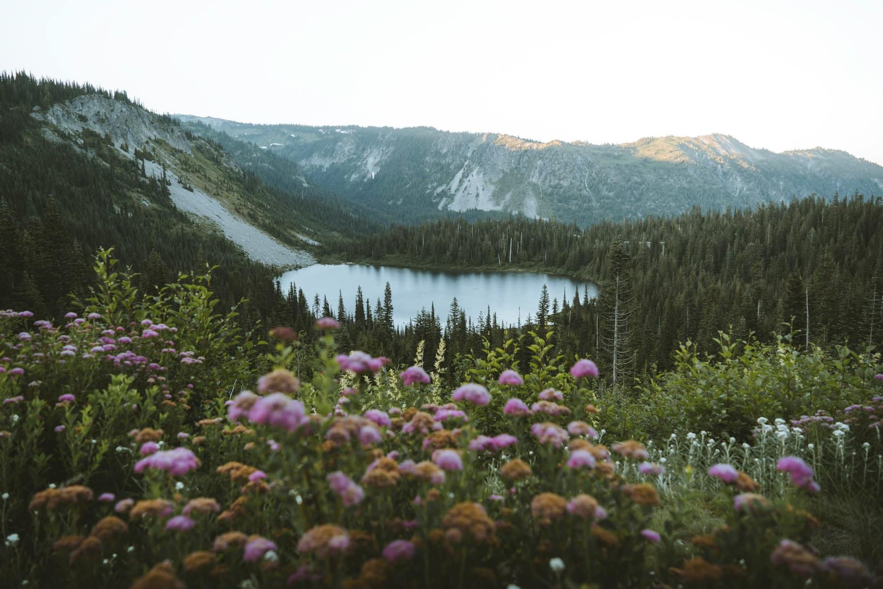
The Grove of the Patriarchs is one of the most beautiful and unique hiking trails in Mount Rainier National Park. The trail, which is about one and a half kilometers long, runs above the Ohanapecosh River, located a forty-minute drive east from Paradise on the Stevens Canyon Road, not far from the junction with Route 123. The trail is accessible from the Eastside Trail hiking route. It travels through a canyon above the river and even features a totally awesome suspension bridge that crosses the river channel.
Silver Falls Trail
Down the Ohanapecosh River Channel, beneath the Grove of the Patriarchs Trail, lies the Ohanapecosh Visitor Center. The visitor center is accessible from Highway 123. It's the starting point for the magnificent Silver Falls trails. These trails are relatively easy and well-maintained (with clean restrooms and picnic areas) and it's a very popular spot for families with kids. The most beautiful part of the trails is the bridge over the river, but the entire area is truly impressive, nestled in the heart of the coniferous forests.
Sunrise Point
Sunrise, as the name suggests, is an accessible area on the eastern slopes of Mount Rainier. It's a spot for hiking, picnicking, and camping above the White River, which separates the slopes of Mount Rainier from the Crystal Mountain to the west, where a large ski resort operates in winter. The driving distance between Sunrise and Paradise is an hour and a half (the roads are closed during winter).
The Sunrise is the second most popular hiking area in the national park after Paradise. The heart of Sunrise is the Sunrise Visitor Center, where there is a large organized parking lot and the Sunrise Day Lodge. From the visitor center, many trails lead to popular picnic and camping areas.
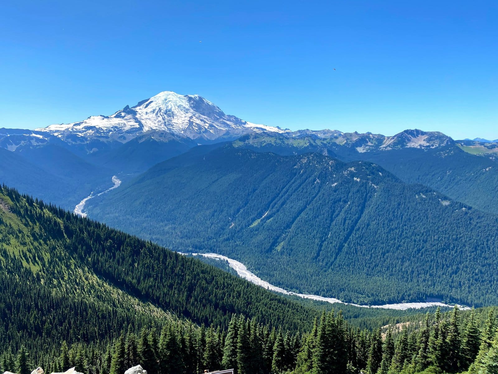
Sunrise is accessible via White River Road that branches off Highway 410. The road climbing to Sunrise is Sunrise Park Road, which ascends to the Sunrise Point Lookout, one of the most beautiful viewpoints in the Cascade Range. From the lookout, the Palisades Lakes Trail leads to several small, charming alpine lakes to the north.
Cayuse Pass and Chinook Pass
Just south of Sunrise, right after the junction with Highway 123, which connects 410 and 12 on the eastern slopes of Mount Rainier, lie two mountain passes that cross the Cascade Range. The passes are the starting point for a trip to Tipsoo Lake, an alpine lake. From the passes, there's a popular hiking trail to Dewey Lake, a beloved camping spot among locals. The drive through the pass is stunning, offering views of the nearby gentle Naches Peak and, of course, Mount Rainier to the west.
Mowich Lake and the Northern Slopes of Mount Rainier
Mowich Lake is located in the northwestern corner of Mount Rainier, completely separate from other hiking sites around the mountain. The lake is accessible via Highway 165, which begins off Highway 410 on the outskirts of the Seattle metropolitan area. South of the lake, the Spray Park Trail hiking path begins, ascending towards the summit of Mount Rainier. Along the trail, there's access to Spray Falls.
The trail connects to paths on the northern part of the mountain, forming a very long trail network suitable for multi-day hiking (come well-prepared and only in summer). This is the less touristy area of the national park, it's colder here due to less direct sunlight, and it is filled with high alpine ponds and rushing creek channels. This is a truly wild American nature area.