The Complete Guide to Transportation and Getting Around in San Francisco
San Francisco is the most important urban center in central and northern California, and it holds significant transportation importance. The metropolitan area includes major airports, a large port serving both commerce and ferry and cruise ship traffic along the Pacific coast, and important highways connecting the city with other major metropolitan areas along the Pacific Ocean coast. Public transportation within the city is now a mix of tourist attraction and an incredibly efficient transportation function. San Francisco's cable car system is a vintage system that is currently considered an attraction not to be missed by tourists.

How to get to San Francisco?
How to reach San Francisco by flight?
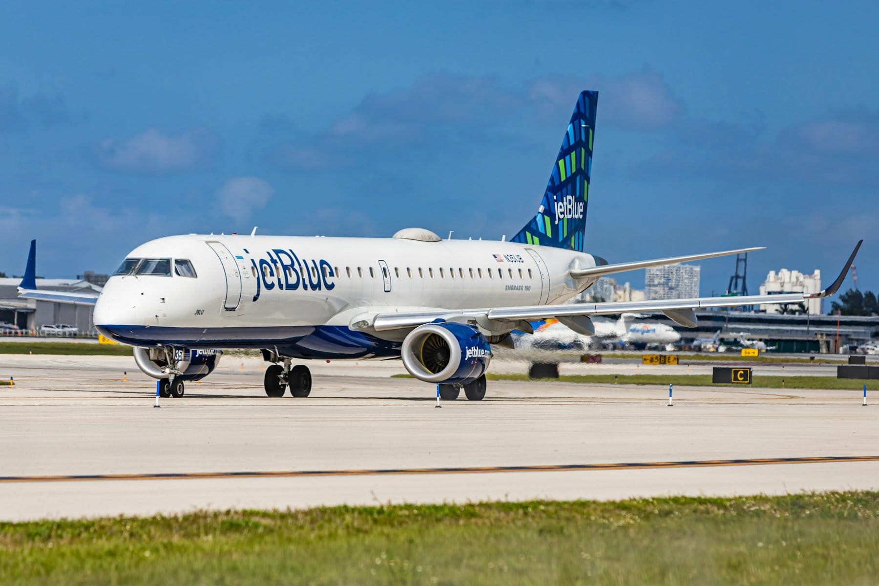
San Francisco International Airport (SFO)
San Francisco's main airport is located on the bay shore, about twenty kilometers south of the city center. It is one of the largest and main airports on the Pacific coast in the USA, easily accessible from anywhere in the world. The airport is a hub for United and Virgin America, making it accessible from every corner of the USA and Canada. It is also easily accessible via transfers from major airports in Europe. This airport serves as a base for traveling in central California, including access to Wine Country and Napa Valley north of the city, and the spectacular Yosemite National Park.
Click here for a round trip from San Francisco to Yosemite by bus…
How do you get from the airport to downtown San Francisco? You can easily reach downtown from the airport on the BART train system with the yellow or red line, travel time is about half an hour. Driving time to downtown on the 101 is fifteen minutes.
Oakland International Airport (OAK)
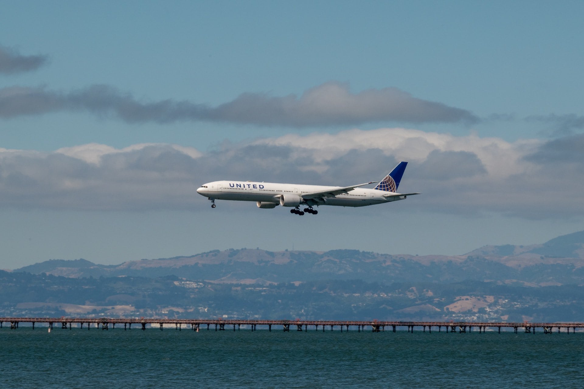
Oakland International Airport is a very convenient option for accessing San Francisco. It's a home base for Southwest Airlines and generally cheaper to fly into (within the US) than San Francisco Airport. It is located just south of Oakland and is well-connected to San Francisco via the BART system.
Oakland Airport is well-connected to all major airports in the US, both West and East Coasts, and can be easily reached through transfers with connections in New York, Los Angeles, Chicago, Atlanta, Denver, and more.
How do you get from the airport to downtown San Francisco? From the airport, take the shuttle line to the Coliseum Station (near the Oracle Arena) and then take the green or blue line to downtown San Francisco. The drive over the Bay Bridge takes about 40 minutes, depending on traffic.
San Jose International Airport (SJC) San Jose International Airport
The secondary airport of the Bay Area is located a short drive south of San Francisco's airport, in the northern part of downtown San Jose. This airport mainly serves the business traffic of Silicon Valley and headquarters in Palo Alto, but it's a convenient option for accessing San Francisco, especially for those arriving by car. The airport is well-connected with major US ports and also serves as a departure point for vacations in various resort destinations in Mexico and Hawaii.
How to get from the airport to downtown San Francisco? You can reach downtown San Francisco from the airport using the BART system through Oakland. Take shuttle bus number 60 from the airport to the Milpitas station in northern San Jose, then board the orange line and transfer at the Coliseum station in Oakland, near the Oracle Arena basketball stadium, to the blue line to downtown San Francisco, a trip of about an hour. The driving time from the airport to downtown San Francisco is around 50 minutes, depending on traffic.
How to drive to San Francisco?
The main highway connecting San Francisco with other major urban centers on the Pacific coast is the I-5, which runs a few kilometers east of the metropolis. This highway runs along the entire Pacific coast from San Diego to Seattle (technically from Tijuana to Vancouver in Canada).
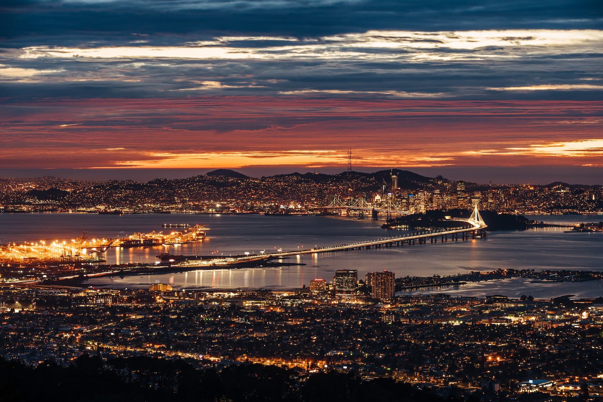
The fast route from coast to coast reaching San Francisco is the I-80, which runs from downtown San Francisco through the Bay Bridge towards Salt Lake City, Chicago, and ends in New York City. The main routes of the Bay are the branches of the 580 and 280, creating a convenient ring for movement around the entire Bay area.
Another important route is the 101, which runs along the Pacific coast from Los Angeles parallel to the 5. This route connects the major city's centers along the peninsula, providing access to downtown San Francisco with downtown San Jose, Santa Clara, and Palo Alto, as well as the airports. The road continues north over the Golden Gate Bridge to the fairly deserted stretches of Northern California.
Ferries in San Francisco
There are two ferry systems serving the city, which, similar to the cable cars, have also become a tourist attraction. The Golden Gate Ferry connects Fisherman's Wharf (Pier 41) with the city of Sausalito. The ferry runs parallel to the Golden Gate Bridge from the east, offering a great view of the bridge.
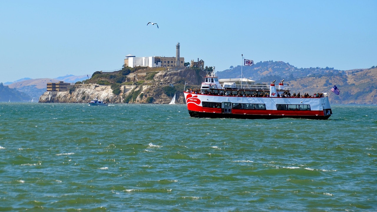
Another ferry line serving the city is the San Francisco Bay Ferry, which connects the city's port with the other cities across the bay. The ferry is also the only way to get to Alcatraz Island, the famous prison island and one of the most popular tourist destinations in the city.
Click here for tickets to the Alcatraz Island cruise…
Pier 41 is also the docking place for the large cruise ships that stop in the city. San Francisco is one of the most popular departure ports for cruises heading to Alaska, including those from Carnival Cruise, Princess Cruise, and more.
Public Transportation in San Francisco
San Francisco's transportation system is one of the largest and most magnificent among all major US cities. In its size and grandeur, it competes only with the extensive transportation system of New York City.
- Unlike other large cities, San Francisco's metropolitan transportation system is efficient and safe, and it also serves tourists traveling to and within the city.
- The San Francisco cable car system is actually a transportation attraction in itself, including several iconic lines that provide access to the city's main sites.
Aside from the cable lines, which are almost entirely a tourist attraction (and priced accordingly), the city has an extensive train system, both within its area and in the metropolitan system connecting to San Jose, Silicon Valley, and Oakland.
Click here to rent a bike for a tour in San Francisco…
- San Francisco's transportation system is managed by the SFMTA (San Francisco Municipal Transportation Agency), with a metropolitan network shared among the transportation systems of San Jose, Oakland, Santa Clara, and the major cities around the Bay.
- San Francisco is also well-connected with long Amtrak routes. The city is part of the Pacific line, and you can travel by train to major cities along the ocean, like Los Angeles, Portland, Oregon, or Seattle.
- The city's main station is located in the southern part of the SoMa district, near Oracle Park, the stadium of the San Francisco Giants baseball team.
Click here for an updated map of the San Francisco public transportation system…
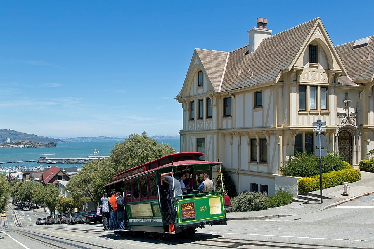
San Francisco Cable Car System
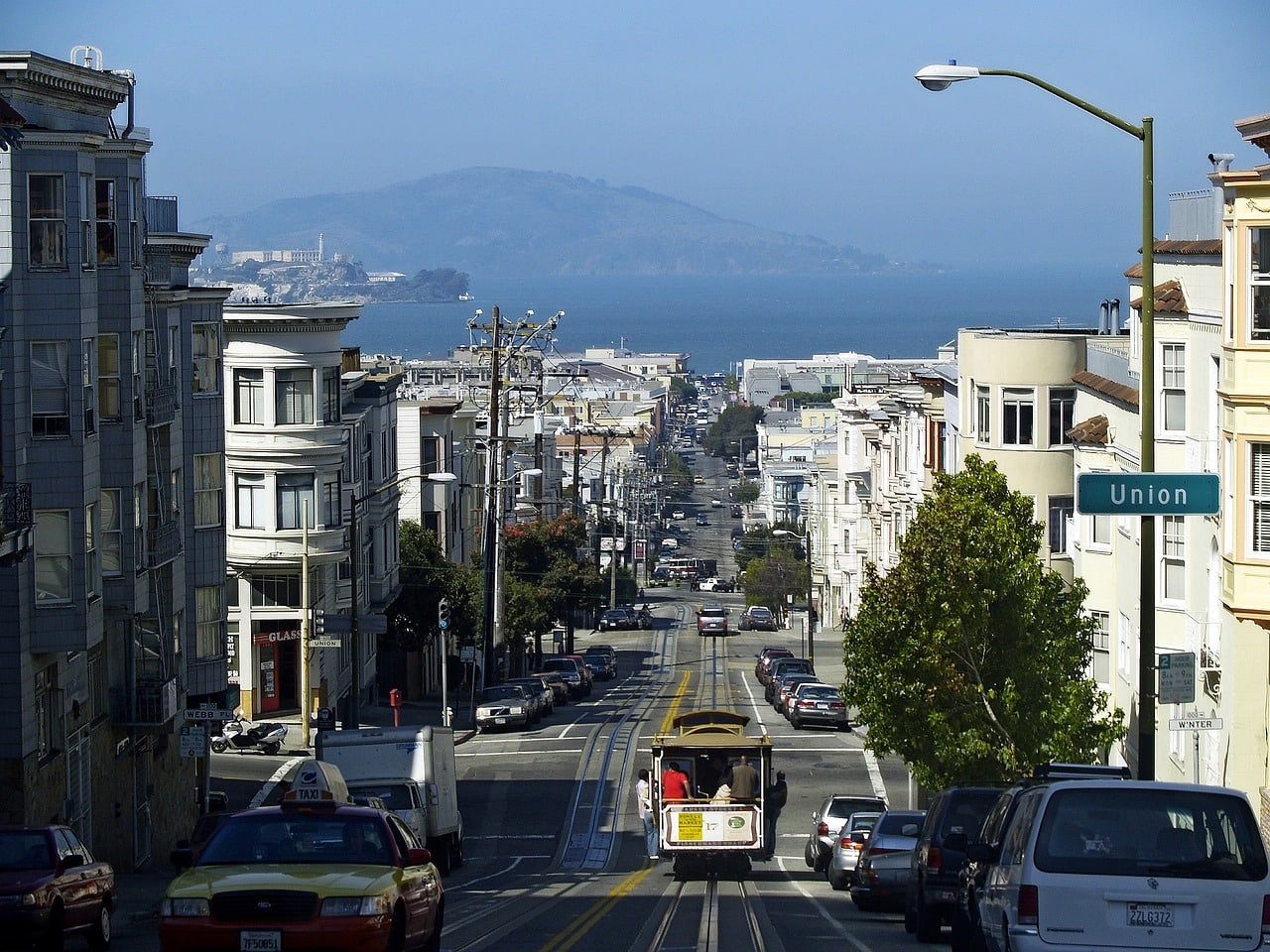
The transportation system in downtown San Francisco is now a leading tourist attraction in the city with a strong vintage vibe. It is the last active system in the USA (and probably in the entire world, with the exception of a few tourist lines) of single streetcars based on a track and cable that pulls them (in a funicular style).
The system was designed to overcome the elevation differences between downtown San Francisco along Market Street and the Fisherman's Wharf coastline, with the neighborhoods in between built on high, hilly terrain. It's the main means of transportation across the touristy areas of San Francisco, including Union Square, Lombard Street, Chinatown, the Fillmore District, and more.
The system began operating in 1873 and was a significant part of the city's landscape at that time. It was severely damaged in the 1906 earthquake and was mostly replaced by the electric streetcar system and later by the much more efficient muni-metro. There were thoughts of discontinuing the lines, but the city decided to turn them into a tourist attraction, which has been a success. Nowadays, the lines are very popular. The fare for riding these lines is significantly higher than that of the city's public transportation systems, yet they are very appealing, especially to tourists.
Bay Area Rapid Transit (BART) System
The BART system is the metropolitan transportation system of the San Francisco Bay Area. It's a highly efficient train system that runs both above and below ground (on a shared track with metro crowds) featuring five color-coded lines (plus a shuttle line connecting the Oakland airport to the Coliseum station).
The system offers very convenient access from San Francisco's major airports to downtown and connects San Francisco with neighboring Oakland. The BART lines in San Francisco run along Market Street in the SoMa district, where you can easily connect to the distinctive San Francisco Cable Car lines. The routes continue over the Bay Bridge to Oakland.
Click here for the current map of the BART Metropolitan System…
Muni Metro System
The integrated tram and metro system is the main mode of transportation for San Francisco residents, commonly known as the commute. The system serves the peripheral neighborhoods of San Francisco and offers very convenient access towards downtown and the SoMa district. Similar to the BART system, the city's transit hub runs along Market Street in the SoMa district, where all the muni-metro lines converge. The rail system includes five lines of trains running above and below ground, reaching the city's residential neighborhoods.
The train network is complemented by a sprawling network of city bus lines, connecting all areas of the city not covered by the train, including the tourist neighborhoods between the SoMa district and Fisherman's Wharf.
Click here for an updated map of the Muni Metro metropolitan system…